We didn’t find the old dray track on our first trip to the Waratah Dam. Our consolation prize was a very old timber tramway and bridge. They were pretty interesting.
Searching in the forest had been easy. It had an open understorey and it was relatively undisturbed by later activity. Old things like a 150 year old dray track might have survived and just might be visible. Ian and I decided to look again.
If we found the dray track, we would be following James ‘Philosopher’ Smith’s trail? He found a route between Knole Plain and Mount Bischoff in 1871 when he famously discovered rich tin ore. He blazed a path that was soon opened up for dray carts and pack horses.1 From 1872 to 1875, it was the essential link for the emerging mine. Supplies were carried in and tin ore taken out. The track was rough and boggy and it was soon replaced by the now familiar approach to Waratah.2
The Second Search
We did some research before we headed back to Waratah. Ian turned his forensic skills to the Land Information Services Tasmania (List) website. County charts, aerial photographs and radar all held clues. I spent time on Trove looking at old newspapers and also at old surveys of the area.
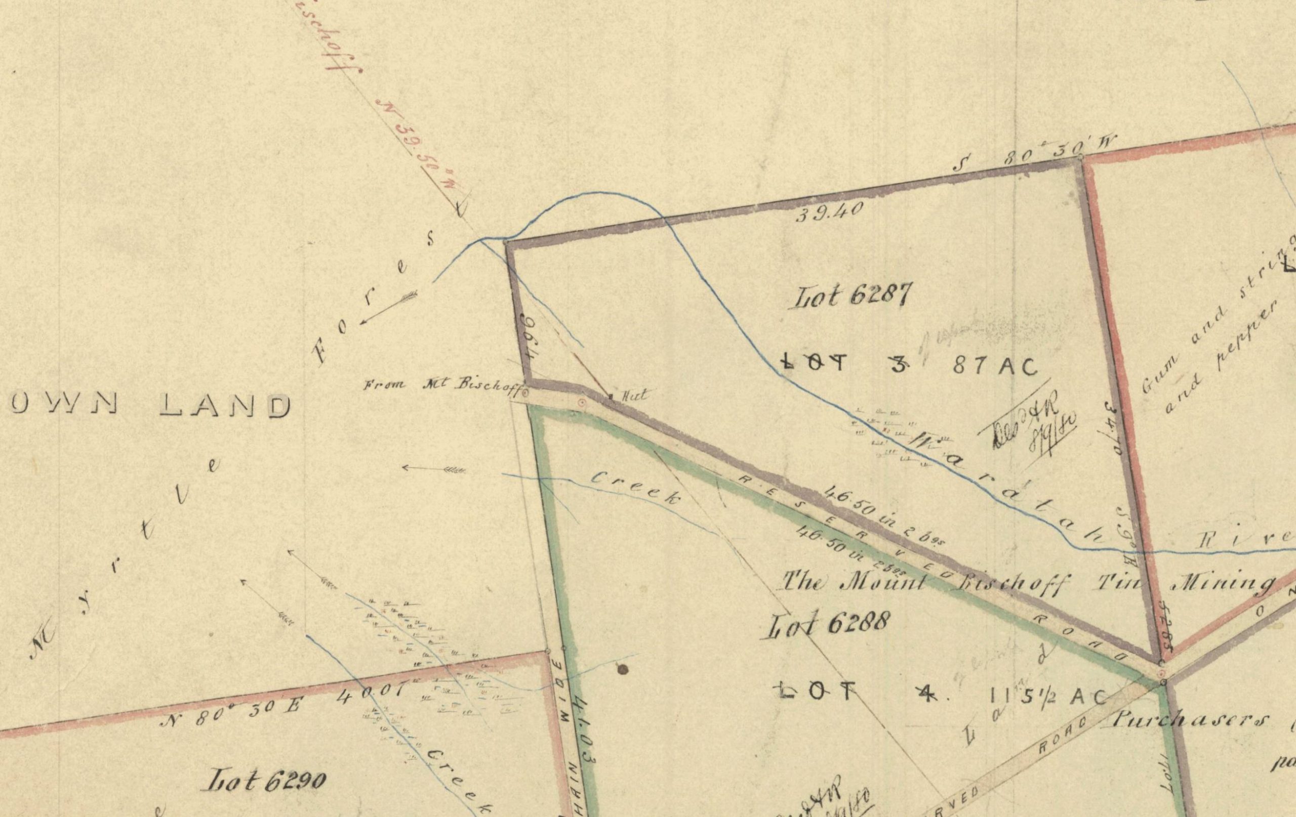
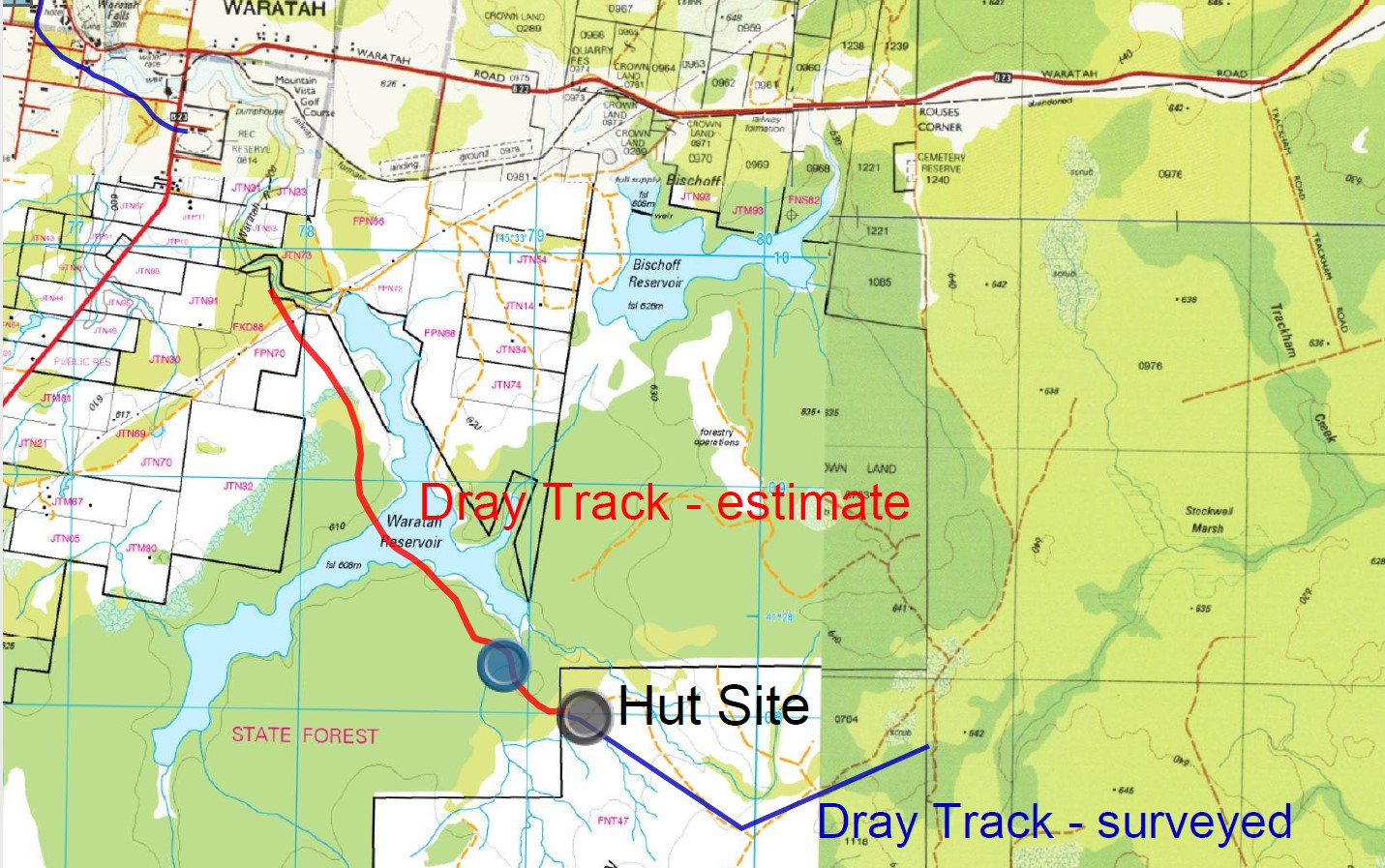
Nic Haygarth’s map showed that the track had run across Knole plain.3 Surely there would be wear from the hundreds of heavy cart loads. A hut was also marked. It had to leave some trace. Better still was a photograph of the dray track at the edge of forest at Knole Plain.
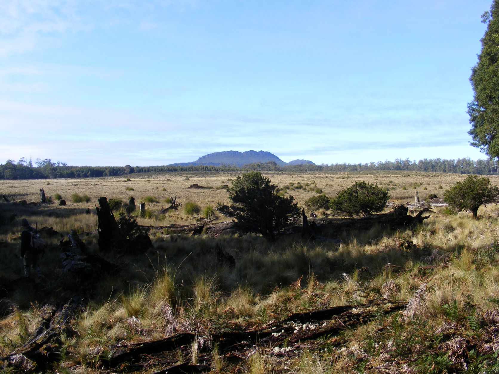
We came in from the south. Knole Plain was a surprise. A huge grassy plain. We headed across the plain along the line where the track had been surveyed all those years ago. We found no sign of it.
We scoured the area at the northern end of the plain where the hut was marked. There were signs of disturbance but nothing that confirmed that a hut had ever stood there – no metal, tin, timber, glass, post holes or a neat square of levelled ground.
Next we went to the edge of the forest to find the track. Ian found a place that looked like the photo, and in roughly the right place. At last, some good news. However, the ground had none of the wear, the gouges and ruts that you would expect from a dray track. The wide cleared line ran only a short distance into the forest and stopped. We weren’t convinced. We moved deeper in the forest.
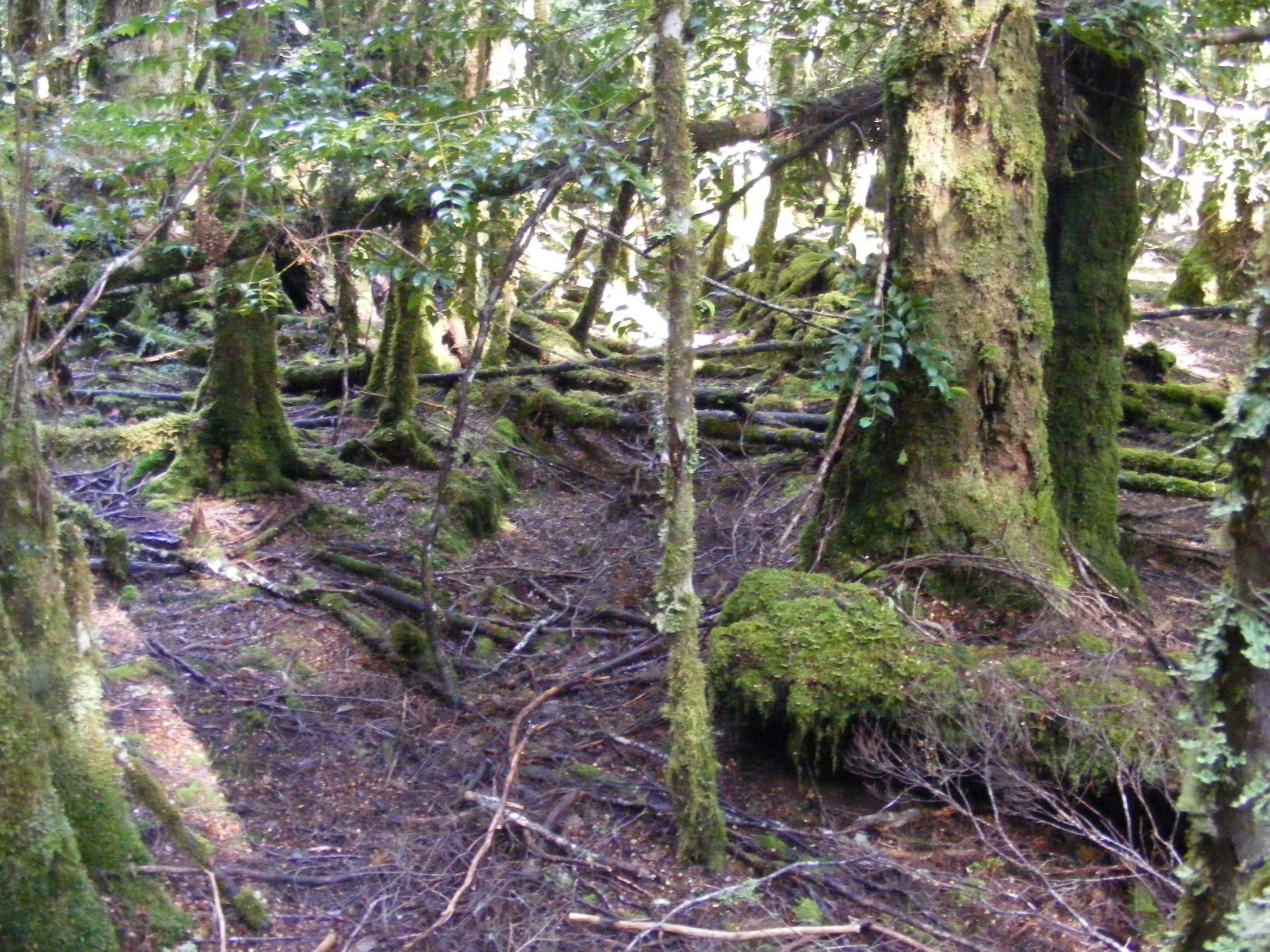
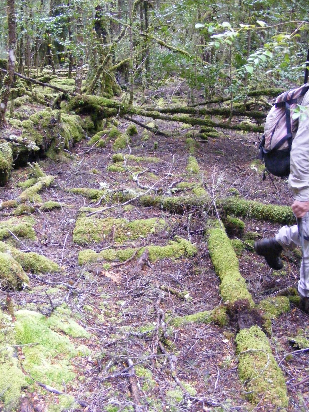
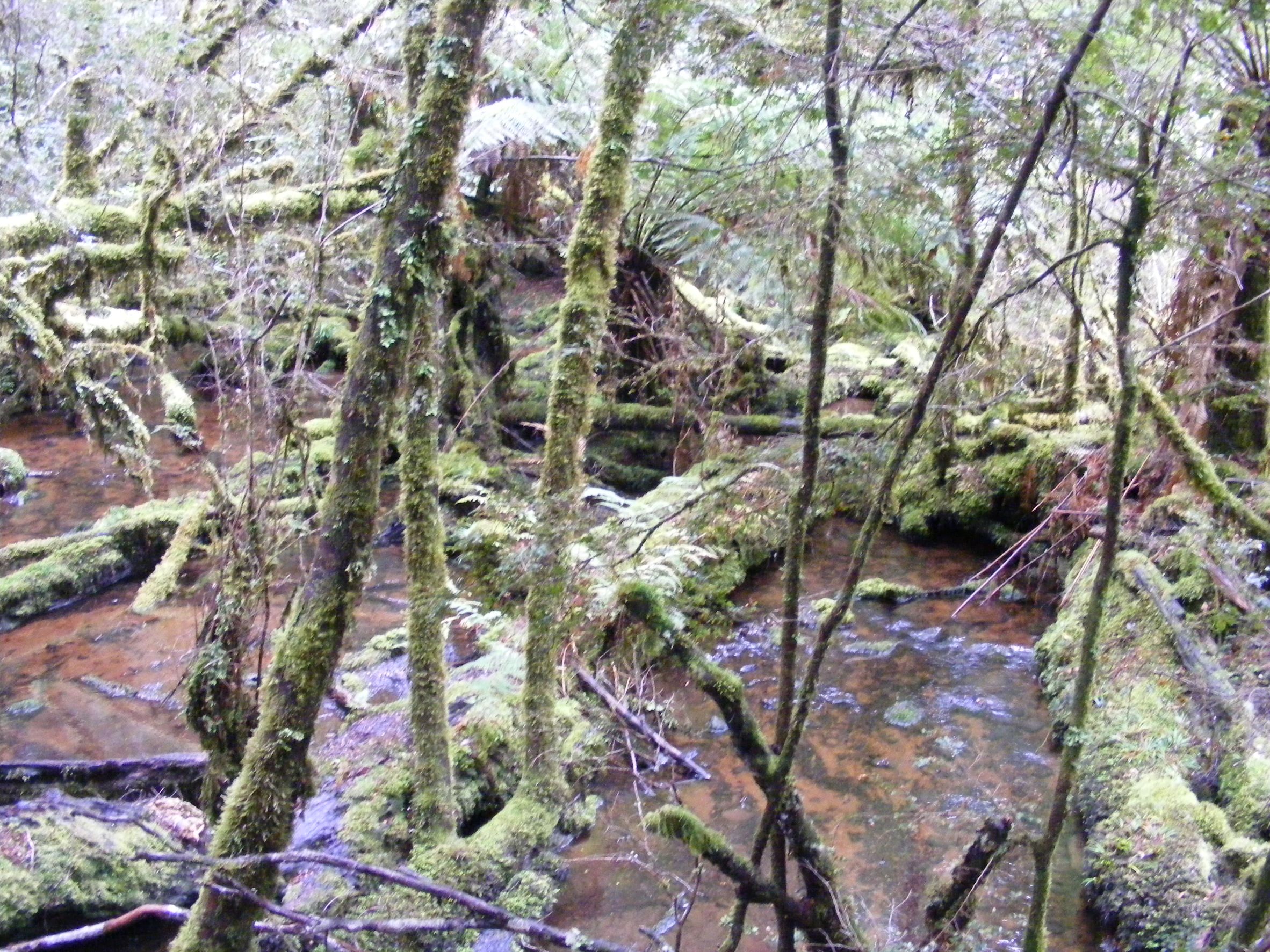
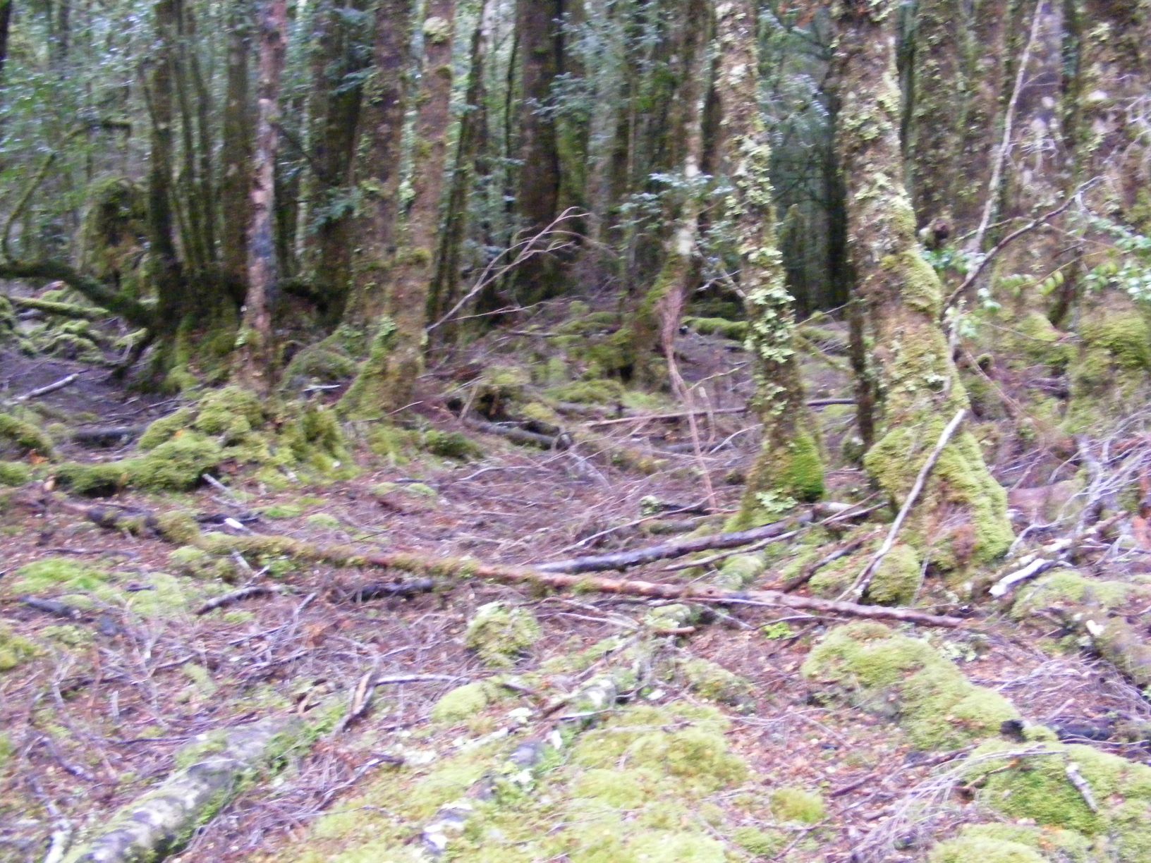
It was a thick mature myrtle forest but it had been logged, albeit a long time ago. There were moss covered, half rotted stumps with those distinctive notches cut for shoe boards and discarded logs with axe cut ends. Deeper in the forest we found a long shallow ditch.
It ran under a fallen tree to an old log loading ramp and a very definite tramway. It should lead us to the old bridge we found on our last trip, and closer to the line of the dray track.
We were getting good at following tramways and it was quite clear. The wooden rails were obvious and we could sometimes see tell-tale moss shapes suggesting that sleepers lay under the soil. There was a length of iron rail at a curve and a small cutting. The line of the tramway was not greatly overgrown.
We crossed the remains of one bridge and then another that was in the terminal stages of decay. It was sagged across its support logs and rotted. It was only held together by the roots of trees that had snaked around the old rotten beams.
The tramway led us west rather than north to our target, the old bridge. This implied that it had been built after 1911 when the dam was filled, but it was still old.
We changed direction and headed to the old bridge site. After a good look around we tried to follow its older tramway. There was some very faint signs of a line going east south east. In one place a very mature myrtle tree had grown through the line and over a piece of iron rail. The line was very hard to follow and the day was getting away from us. We headed back to the plain in the twilight.
We had found more tramway, but not as old or interesting as the previous trip. There had been no sign of the dray track. Did we give up? We did, briefly.
We looked again at aerial photographs. There were faint patterns in the forest. The ground radar images also showed some possible lines. We took their precise locations. An old survey suggested a slightly different line for the dray track. Again we thought that we were ready.
The Third Search
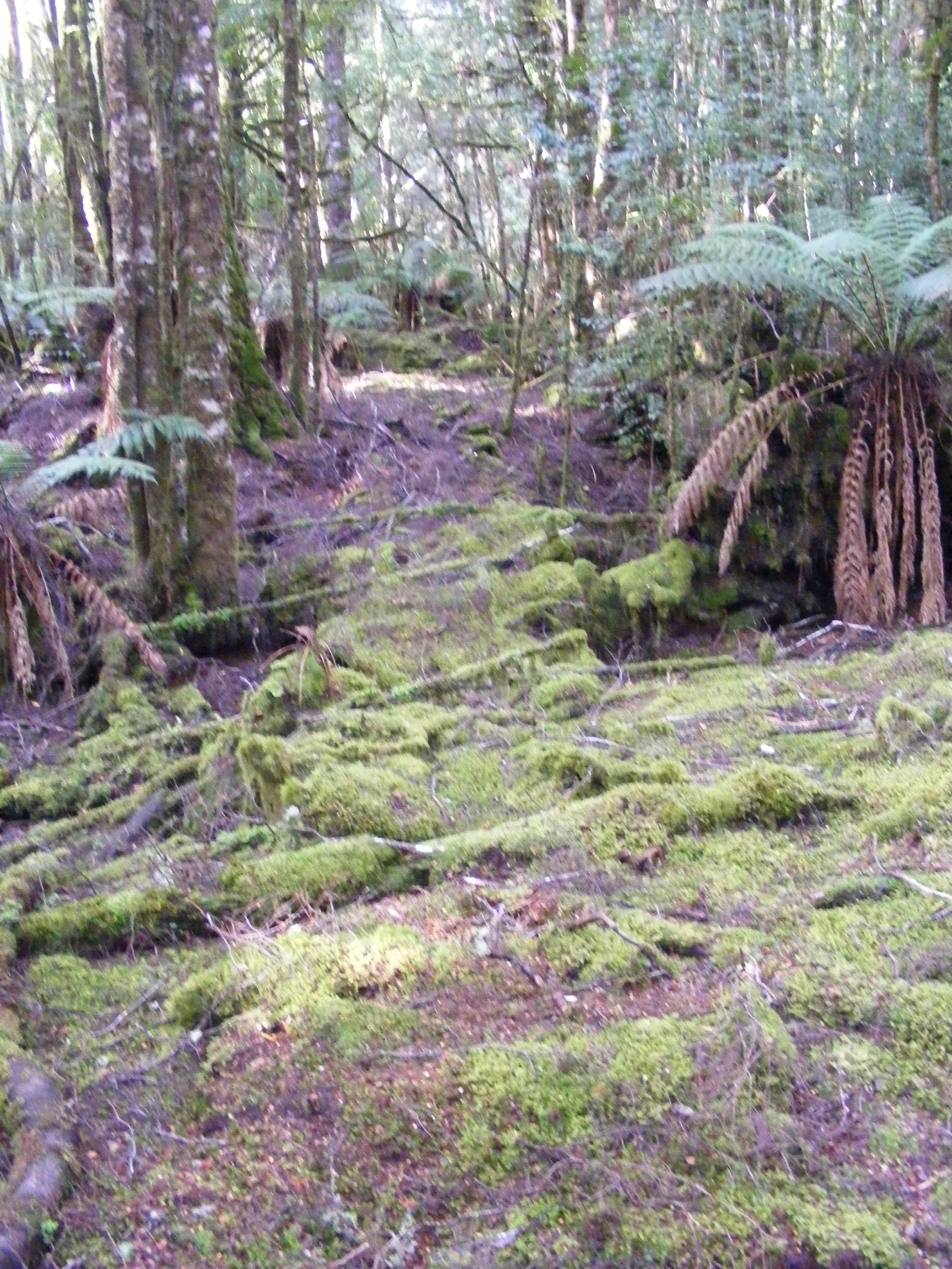
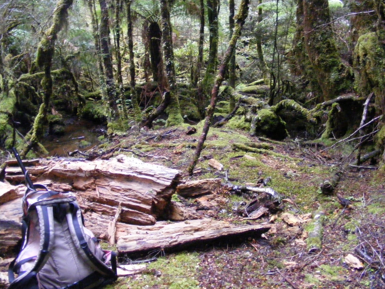
At Knole Plain we went into the forest and reached the log landing again. This time we headed north. We weren’t going to be taken off line by the tramway. We moved onto the first of our targets. One after another we checked them but found nothing. There were ever-present signs of logging from a long time ago. Not really destructive, just enough to confuse us.
By lunch time we were near the lake but further east than we had been before. Turning southward, we explored the remaining targets. This would be our last sweep as we headed back towards Knole Plain. If we found a rut or something suggestive of a track, and it headed in roughly the right direction, we’d follow it.
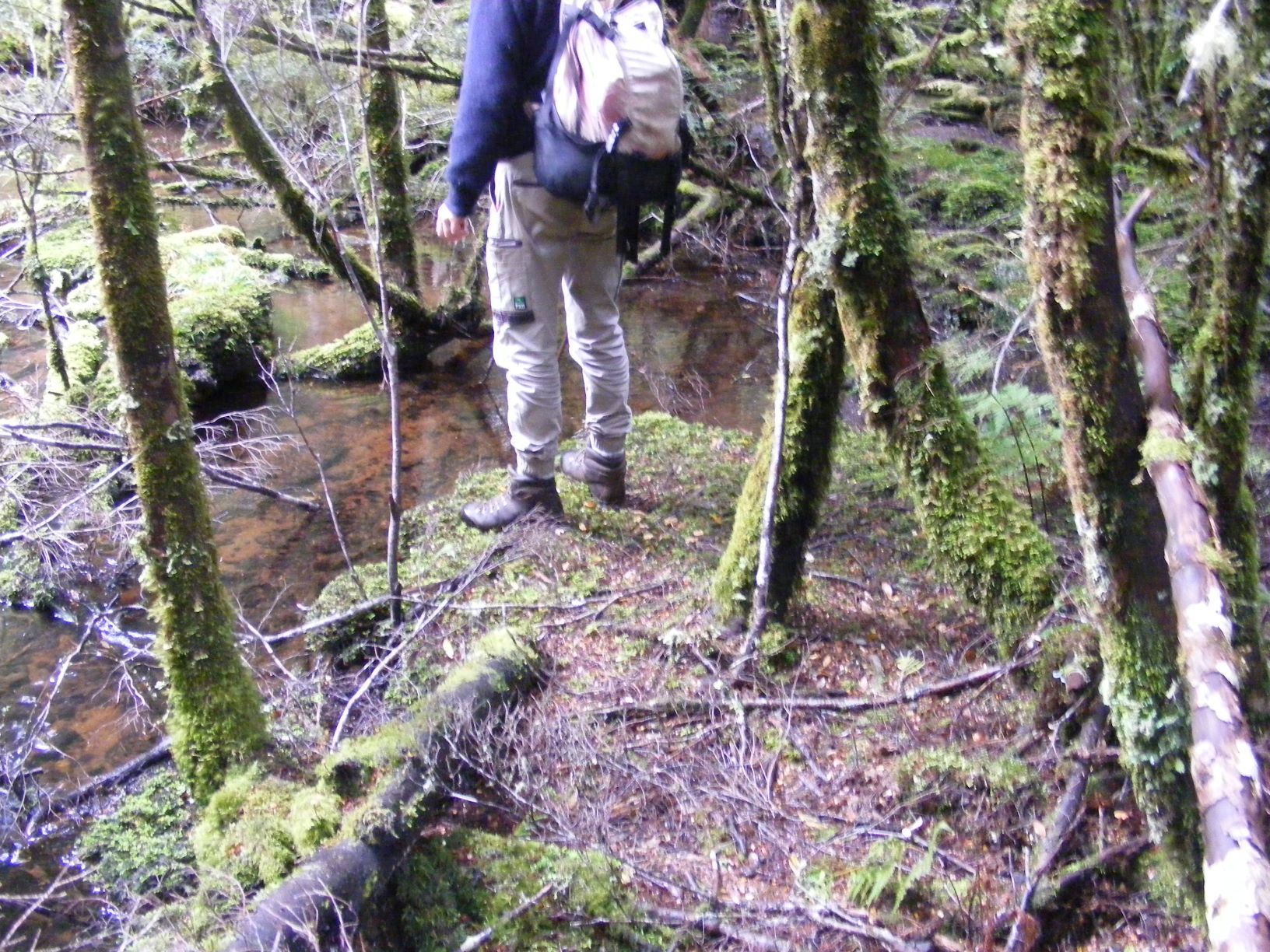
I was lagging behind with the GPS in one hand and compass in the other trying to keep on the estimated route. Ian was well in front. I would call out if he wandered too far off the estimated line. Then something got his attention. I followed. I caught up to find him looking intently into the fallen timber in the bed of the shallow brook.
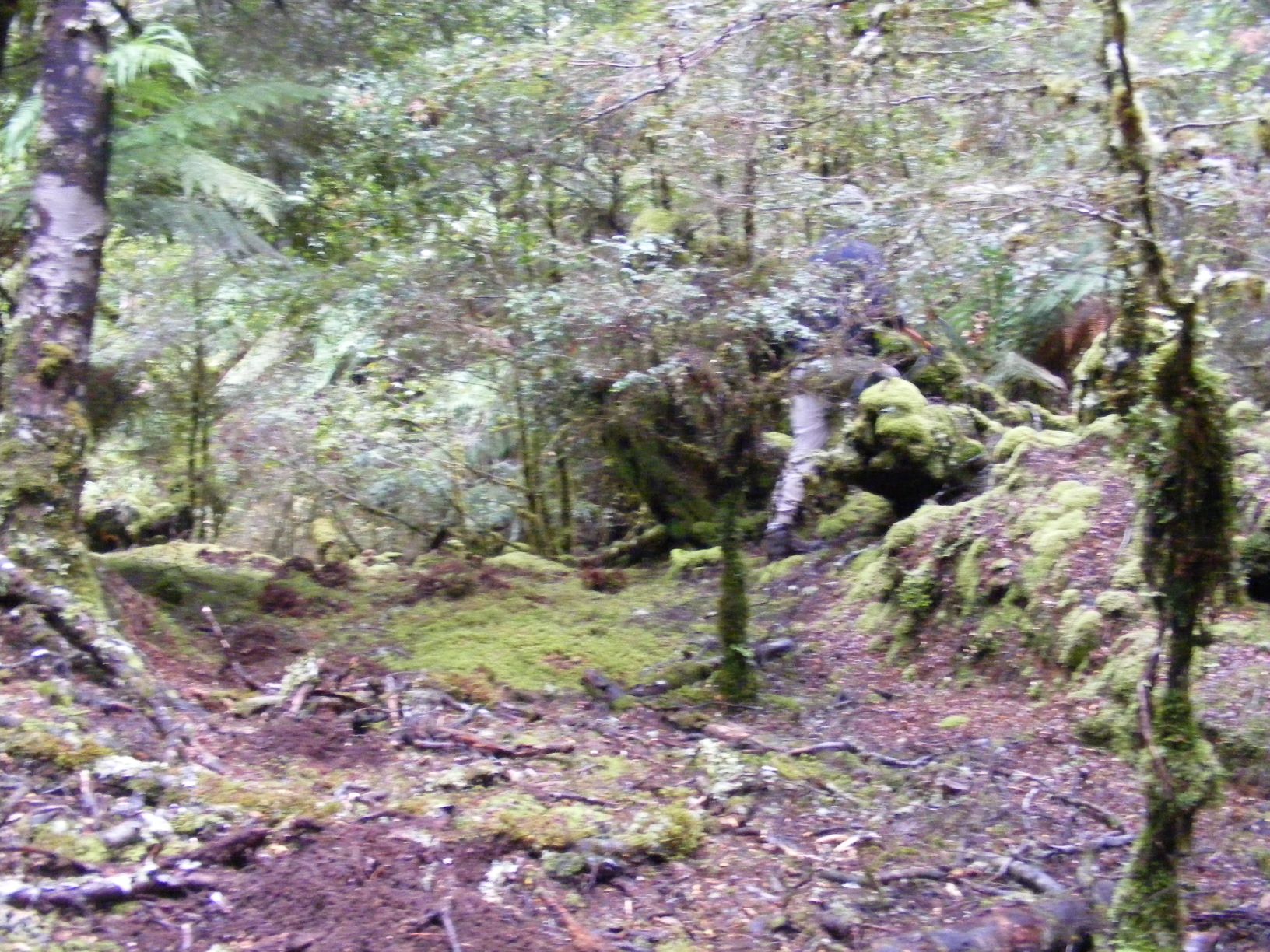
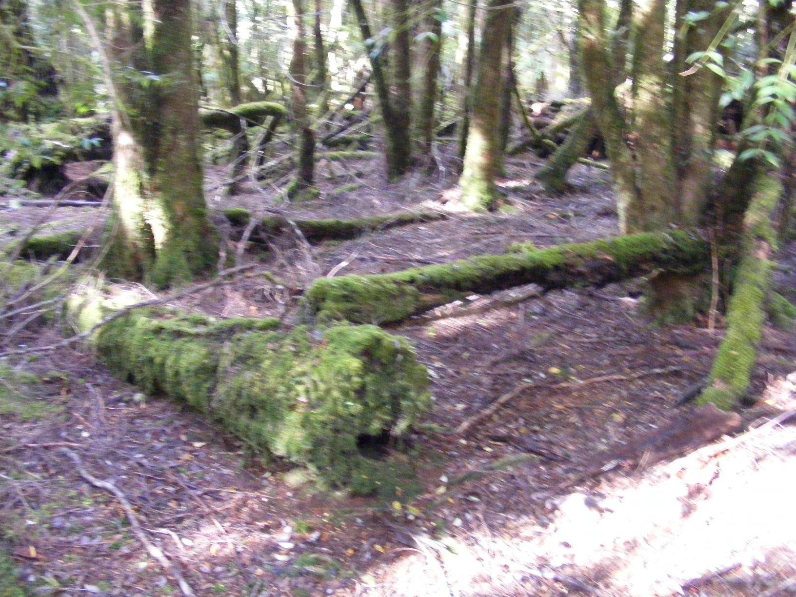
Ian pointed out a series of very big logs lying roughly parallel across the stream. I started counting. There were at least three. There was a lot of random tree-fall too but they could be the beams of a bridge. But there were few other signs of anything definite. We crossed a mossy backed log to the other side.
The bank like an abutment. And there was a strange looking mushroom sprouting from one of the logs – very tall, a thin dark brown stork and a tiny green head. It wasn’t alive, it was a bent iron spike.
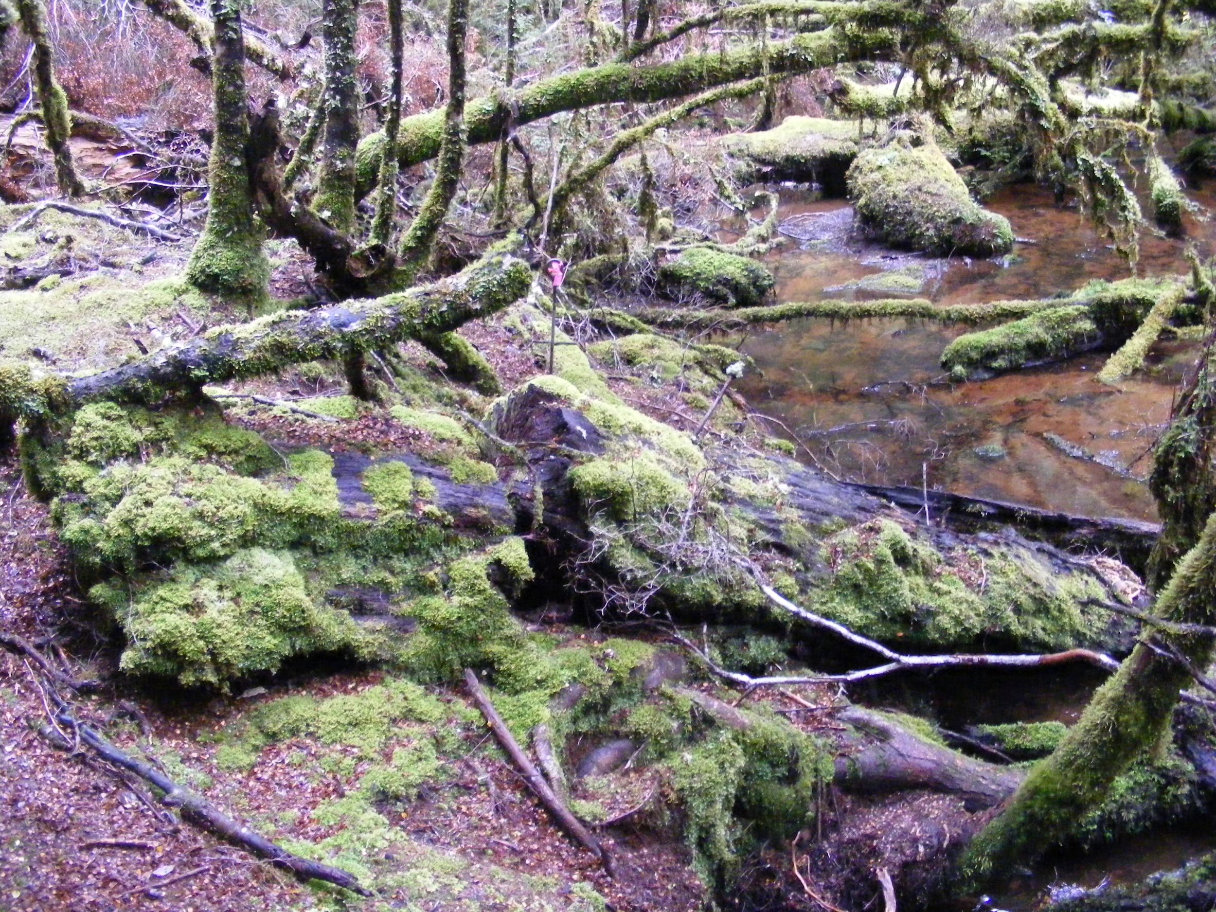
It was clear that we had found a bridge – earthworks on both banks, three large beams collapsed into the stream and an iron spike. We could see the line of the route leading through the forest. But was it a bridge for a dray track or for another tramway?
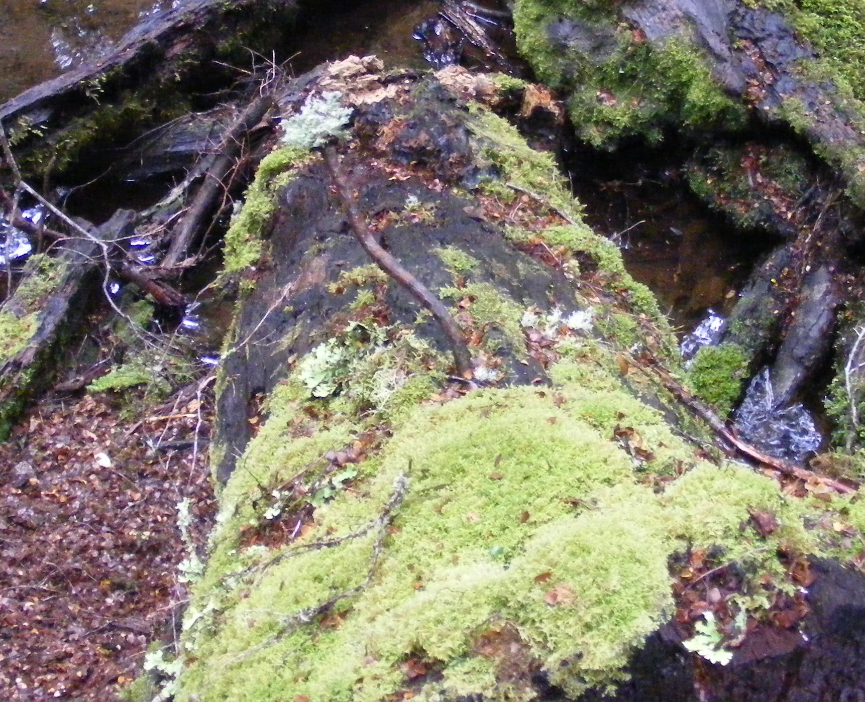
We walked slowly along the route looking for the all-familiar signs of wooden rails and the spikes that would have held them in place. I certainly held my breath. There was nothing but a rut along the middle of the route. A rut formed when horses walked along a track, not a tramway where the sleepers would have stopped rutting. There was no sign of rails or spikes. This was the dray track.
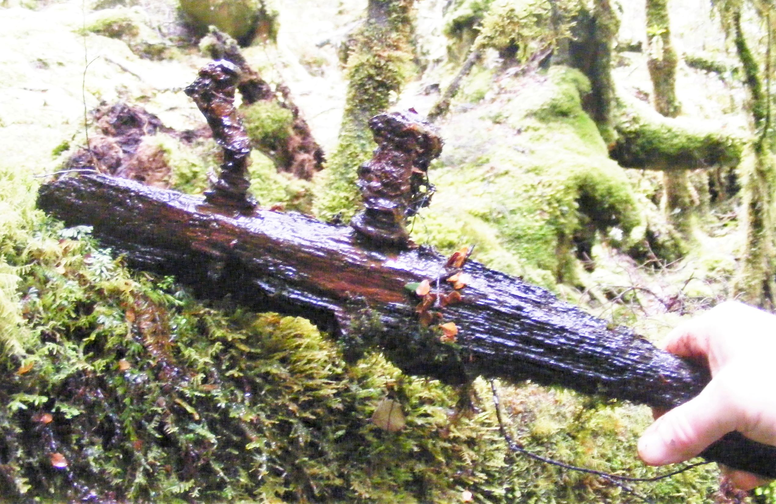
The longer we looked, the more saw. The northern bank had been corded with planks that have been held in place by short spikes. More of those spikes stuck in rotted wood were found in the creak. It appeared to have been a very strong bridge designed to carry a load.
I was still processing our find when Ian suddenly announced that he was going to look for a ford downstream. I had to ask him later why he made this decision. Well, he said, it was simple. The earliest and roughest track would have only had a ford. The bridge would be built when the track was improved. It was that obvious. The banks would have to be lower for a ford and that was downstream.
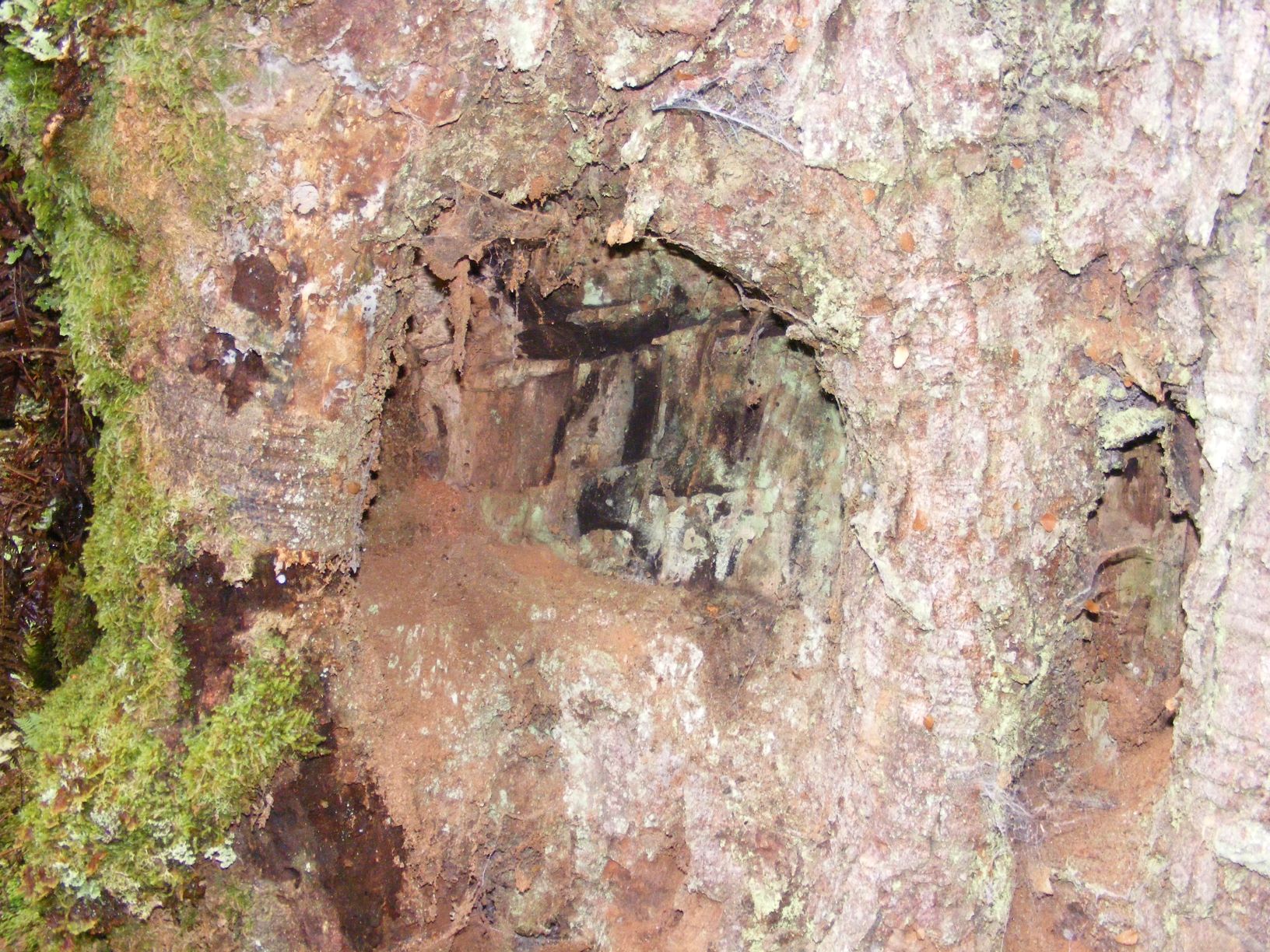
A few moments later, Ian was standing on the edge of the stream pointing out where a track came down the bank and onto a very square mound of earth in the stream. Just to make it blindly obvious, there was a massive old blaze in an old myrtle. Yes, there was a ford downstream.
It was late in the day, so time to head home. We followed the rut south. Soon we recognised the now familiar log ramp. And then the penny dropped. The rut that we had followed on our last trip to the log landing was the dray track. We’d thought it was a snig track. Our guesses always fit the facts but there is often more than one solution. Sometimes a better explanation comes along.
For us history really resonated when we touched the blaze that made been made 150 years ago. Had Philosopher Smith swung his axe into this tree as he marked a route between Knole Plain and Mount Bischoff? Maybe, but we certainly followed his trail.
Peter Brown 2021 (copyright)
1 RE Smith, The discovery of the Mt Bischoff Mineral Resources Tasmania – compiled by R.E. Smith from notes left by the late James Smith, 11 Jul 1922, Mineral Resources Tasmania, URMISC_1922
2 Nic Haygarth – https://nichaygarth.com/index.php/2020/10/17/bog-lane-and-the-bullock-graveyard-of-the-bischoff-road/
3 As above
Well done to you all. 150 years ago …I wonder if James ever contemplated how his endeavours would be remembered. How I wish we could spend a day in his company